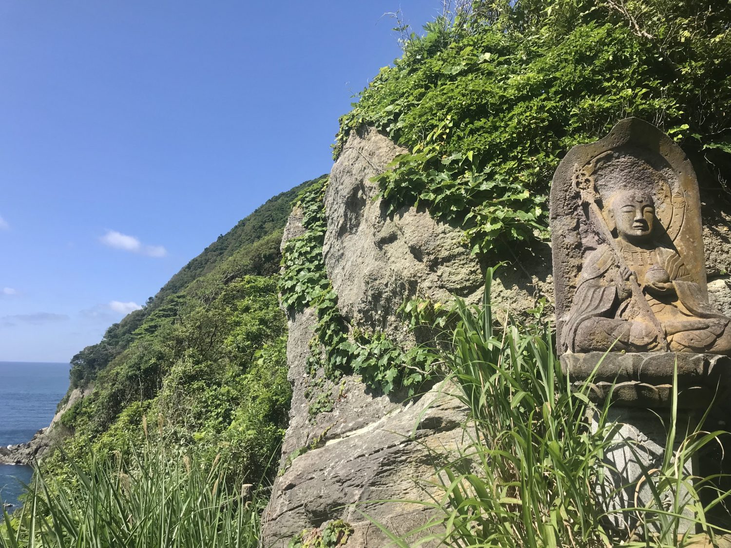
Along your hike you will come across giant’s kettles, prehistoric footprints of deer and dwarf elephants, and over 80 Jizo Buddha statues guiding you along the trail.
Nature Trail
Part of the trail will take you on a narrow path through the thick forests of the peninsula, a beautiful hike in the autumn when you can see the changing of colors.
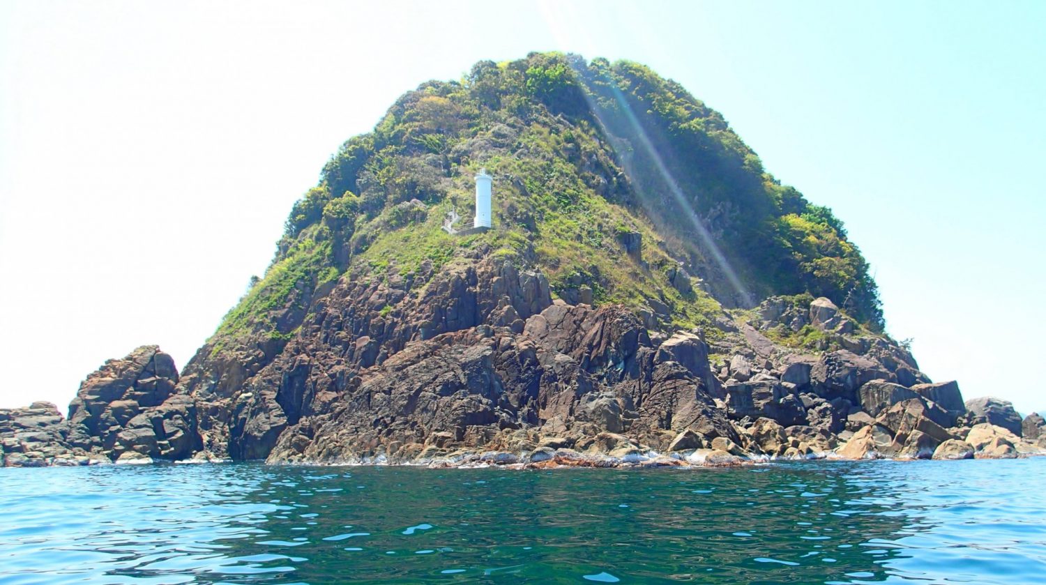
Nekozaki Lighthouse
At the tip of the peninsula is a white lighthouse standing watch over the cliffs that jut up from the Sea of Japan, and this marks the end of the trail and the northern-most point of Hyogo Prefecture.
On days with good weather and if conditions are just right, you can find fishermen on the lower rocks of the cliff.
Ocean Views
Stay on the lookout for magical views during your hike through the forest!
Information listed below was last updated 04/2025 and is subject to change.Contact the business directly for updated information. Note, most businesses can only speak Japanese.
BUSINESS INFORMATION
- Business Hours
- Hiking after nightfall is not suggested.
- Address
-
Nekozaki Peninsula
Takeno-cho, Toyooka-shi, Hyogo
About a 20 minute walk from JR Takeno Station
- Average Price Range
- Free
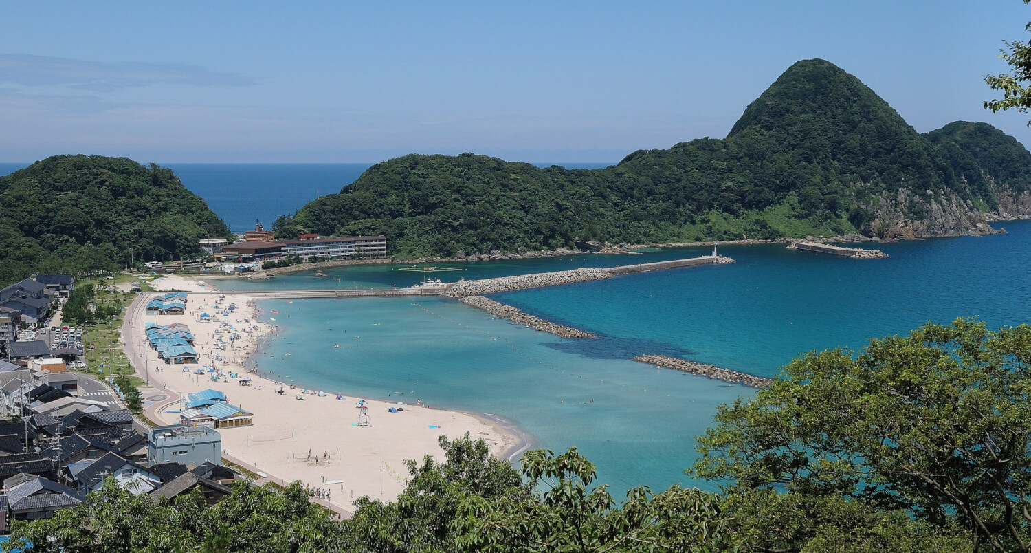
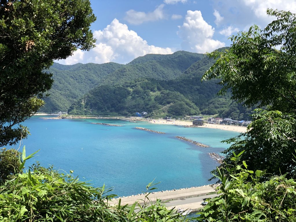
Nekozaki Peninsula, found in Takeno just next to Takeno Beach, juts out into the Sea of Japan and is the northern-most point in Hyogo Prefecture.
“Nekozaki” in Japanese means crouching cat and the peninsula resembles one from an aerial view.
The locals also call this peninsula Kewpie because it looks like a sleeping Kewpie from the beach.
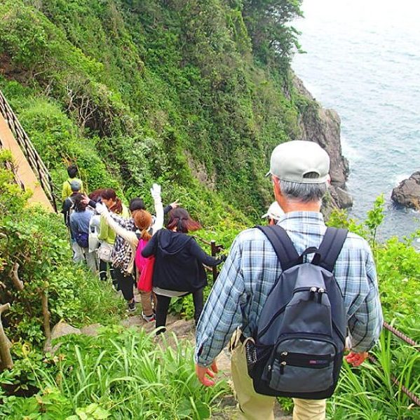
There is a hiking and nature trail that is easy to follow and walk along for most of the way.
There are some steep inclines, declines, and stairs along the way, so sturdy shoes should be worn and caution should be taken in slippery conditions.
The hike is about 2.3km one-way and takes about 2 hours round-trip.
You can book a guided tour of the peninsula here.